Visualización de la noticia: EEUU, la ruta 66 del periodismo interactivo

Capítulo 1: EEUU
La ruta 66 del periodismo interactivo

Llega septiembre y volvemos a poner el tren de la visualización a toda máquina. ¡A por ello! Vamos a recoger algunos sitios digitales con buenas experiencias en gráficos de datos y narración visual. Ellos han hecho todo lo posible para ayudarnos a comprender mejor lo que sucede a nuestro alrededor con la ayuda de gráficos, mapas, infografías y piezas interactivas.

Detrás de cada periodista existe una persona con sus propios prejuicios, que piensa y trabaja con sus propias creencias y perspectivas, y que pueden influir en su trabajo. Por tanto, los datos promueven el conocimiento público de la información, agregando certeza en algunos casos pero también incertidumbre.

Claves de su estilo:

– Observación: Historias basadas en la evidencia. Existen diferentes formas de evidencia (datos, informes, experiencia de primera mano, investigación académica, etc.). Se trata de descubrir nuevos conocimientos, responder a más preguntas y tomar mejores decisiones o entender mejor el entorno que nos rodea.

– Precisión e integridad: Intentan ser lo más precisos y rigurosos en la presentación de la información y probar sus hipótesis y suposiciones.

– Transparencia: tratan de explicar cómo llegan a sus conclusiones y, siempre que es posible, comparten los datos detrás de sus historias.

– Personalidad: Son periodistas brillantes, con un estilo único, limpio y claro. La visualización pone hechos y cifras en contexto de una manera atractiva, lo que ayuda a que más personas aprendan con los datos.

– Tecnología: apuesta definitiva por la red y las nuevas tecnologías. Estadística, matemáticas, programación, bases de datos.

– Inversión: Los equipos de datos y gráficos son grandes y multidisciplinares: diseñadores, desarrolladores, analistas de datos, cartógrafos, ilustradores, editores y contadores de historias.

El creciente uso de la visualización de datos dentro del periodismo significa que hay un cambio de la escritura como principal modo semiótico a los datos y la visualización como elementos centrales en la narración periodística.

A continuación listamos algunos medios interesantes para conocer mejor el mundo de la visualización informativa. Como dice el dicho popular, ni son todos los que están, ni están todos los que son. Adentrémonos en la madre de todas las carreteras visuales de la mano de estas diez bestias pardas.

Bloomberg News, 2022

1. BloombergBloomberg LP
Nueva York, EEUU
Bloomberg ofrece noticias, datos, análisis y videos de negocios y mercados al mundo, con las historias de Businessweek y Bloomberg News.
Acceso por subscripción: 299 dólares anuales.
Referencias: Dave Merrill
En Twitter
Ver gráficos.
The Wall Street Journal, 2022

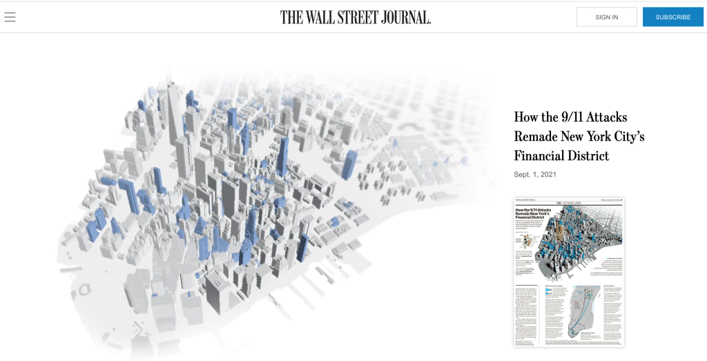
2. The Wall Street Journal, Almar Latour.

Nueva York, EEUU
El mítico diario de las finanzas de Wall Street.
Acceso por subscripción: 9.99 euros al mes.
Referencias: Stuar A. Thompson, Tonia Cowan, Randy Yelp, Stephanie Stamm, Hanna Sender, Matthew Weber
Libro: The Wall Street Journal Guide to Information Graphics.
En Twitter.
Ver gráficos.

Imperio visual, The New York Times, 2022

3. The New York Times, AG Sulzberger

Nueva York, EEUU
El diario líder mundial en diseño, infografía e interactividad (Documentary Emmys, Malofiej Awards, Press Club Awards, World Press Photo, SND World´s Best Designed Newspapers, Internacional Reporting Polk Awards, Online Journalism Awards, Ellie Awards…). Su sala de trofeos periodísticos no tiene parangón.

El modelo a seguir por el resto de los mortales.

Referencias: Steve Duenes, Aron Pilhofer, Gabriel Dance, Matthew Ericson, Andrew DeVigal, Archie Tse, Mike Bostock, Jeremy Ashkenas, Matt Ericson
Galería de Premios
En Twitter
Ver gráficos
The Upshot, NYTimes

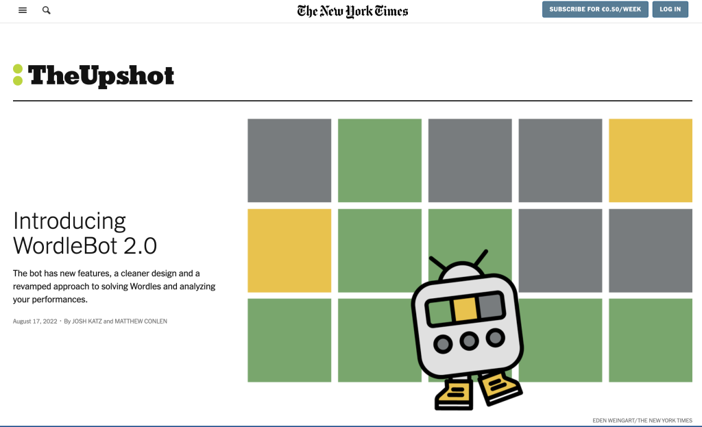
4. The Upshot, Walt Disney Co.
Nueva York, EEUU
The Upshot es una revista web publicada por The New York Times que difunde artículos que combinan la visualización de datos con el análisis periodístico de noticias.
Referencias: Steve Duenes, Amanda Cox, Nate Silver.

En Twitter.
Nate Silver y el 538

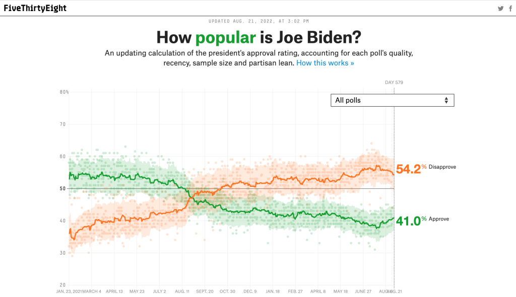
5. FiveThirtyEight, ABC News Internet Ventures.
Nueva York, EEUU
FiveThirtyEight, a veces representado como 538, es un sitio web que se centra en el análisis de encuestas de opinión, la política, la economía y los blogs deportivos.
Referencias: Nate Silver.
En Twitter
Su misión
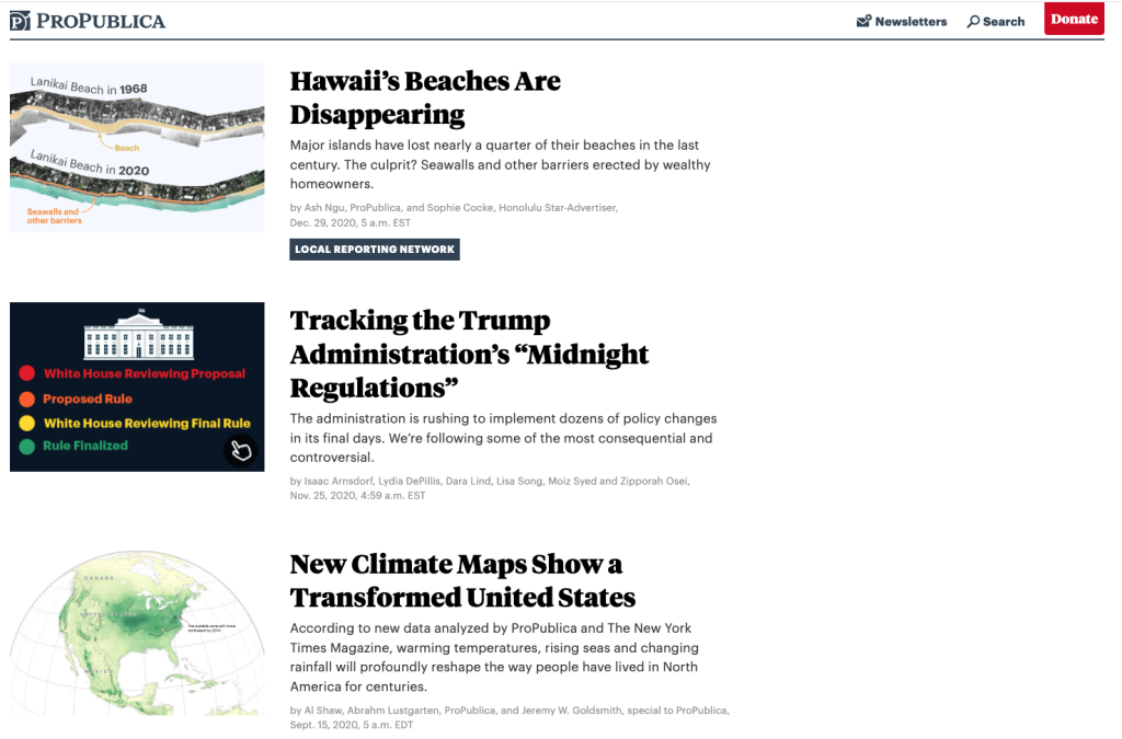
ProPublica

6. ProPublica, Pro Publica Inc.
Nueva York, EEUU
ProPublica es una redacción independiente sin fines de lucro que produce periodismo de investigación de interés público.
Referencias: Lisa Larson-Walker, Lena V. Groeger, Lucas Waldron, Ryann Grochowski, Mauricio Rodriguez
Ver gráficos
Periodismo visual
Data Institute
En Twitter

Associated Press

7. AP, Associated Press
Nueva York, EEUU
El departamento de gráficos de la agencia Associated Press.
Referencias: Justin Myers, Michelle Minkoff
Data

Ver gráficos.
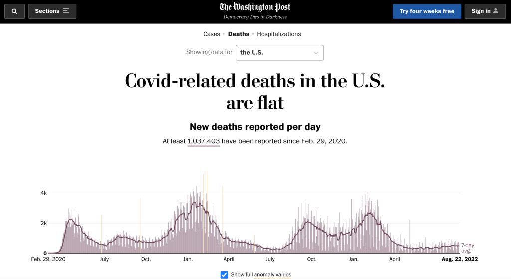
Wpost

8. The Washington Post, Nash Holdings LLC
Washington DC, EEUU
El diario del Distrito de Columbia lleva años invirtiendo en su equipo de datos y gráficos y ya es un Tyrannosaurus Rex del lenguaje multimedia y los datos.
Acceso por subscripción: 50-70 euros al año.
Referencias: Chiqui Esteban, Tim Meko, Manuel Canales, Joe Fox, Monica Ulmanu, Lauren Tierney, Meghan Hoyer, Brenna Maloney
En Twitter
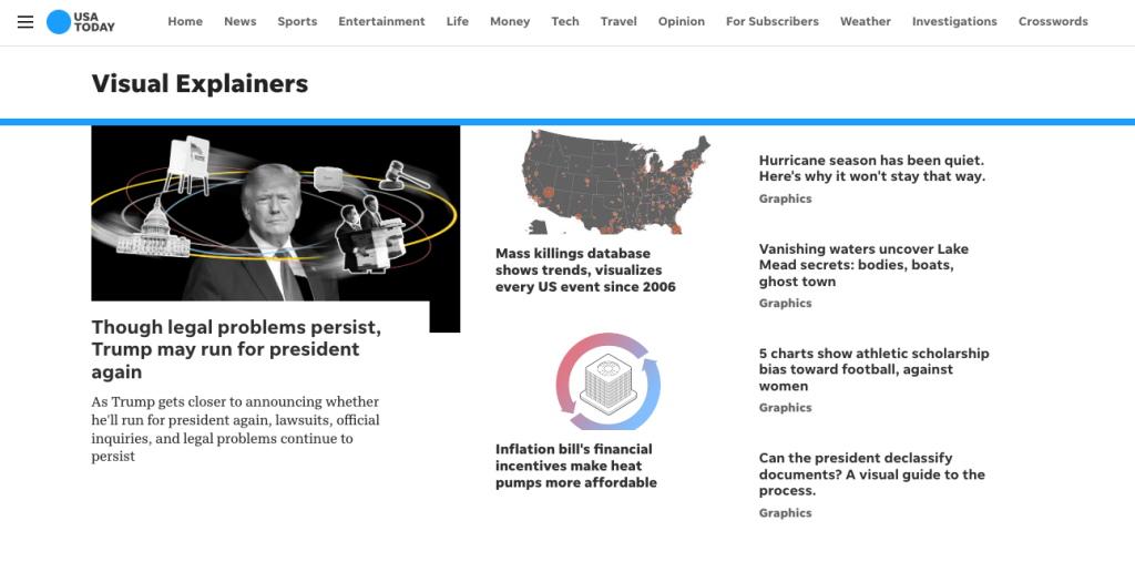
Visual Explainers, USAToday

9. USA Today, Gannett
Washington DC, EEUU
El diario que trajo el color y la infografía a las portadas en los 90, en el podio de las tecnologías de la información.
Referencias: George Rorick, Sam Ward, Jeff Goertzen, Javier Zarracina
En Twitter
Ver gráficos.
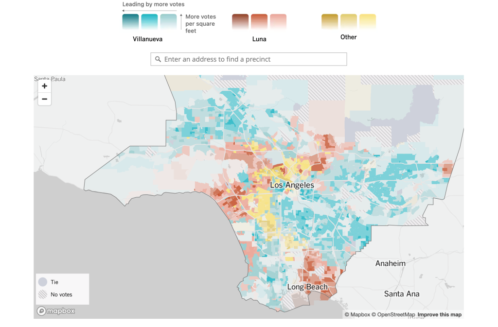
LA Times

10. Los Angeles Times, Tribune Company.
LA, EEUU
La reina visual del Oeste americano.
Acceso por subscripción: 299 dólares anuales.
Referencias: Hanna Sender
En Twitter
En GitHub

En Observable

Un ejemplo.
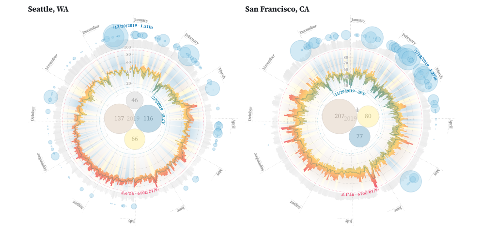
Observable, interactividad al momento

Anexo 1. Observable
San Francisco, EEUU
Plataforma libre donde las personas pueden trabajar juntas para explorar, analizar y comunicarse con los datos directamente en el navegador. Según su lema: ‘Construyendo el futuro del trabajo colaborativo con datos’. A venido para quedarse.

Referencias: Melody Meckfessel, Mike Bostock
En Twitter.

Ver gráficos.
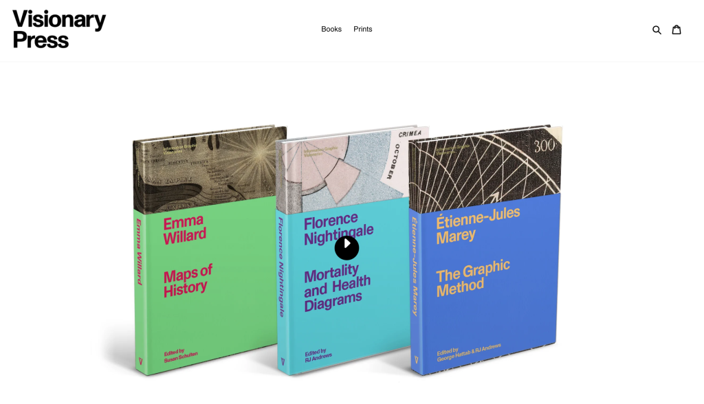
Visionary Press

Anexo 2. Visionary Press
San Francisco, EEUU
Editorial de libros interesantes sobre mapas y gráficos.
En Twitter

Referencias: RJ Andrews
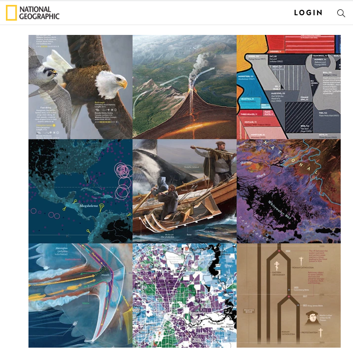
National Geographic Magazine

Anexo 3. Otras referencias

National Geographic Magazine

The Atlantic
Newsweek
The Daily Beast
Univision
Tampa Bay Times
The Huffington Post
Scientific American
Dallas Morning News

Visor cartográfico del catastro

Catastro de España

Permite el accesos a toda la información catastral de las sedes de la Dirección General, de Navarra, de Araba, de Guipuzkoa y de Bizkaia.


Sede Catastro:

Capas Catastro:

Navarra y País Vasco:

Opacidad:

Topografía:

Fuentes y recursos

Medios utilizados para realizar este mapa

Sede Electrónica del Catastro

Catastro de Bizkaia

•  Catastro de Gipuzkoa

Catastro de Araba

Catastro de Navarra

• Infraestructura de Datos Espaciales del Instituto Geográfico Nacional.

Open Street Map

Leaflet Open Source Library

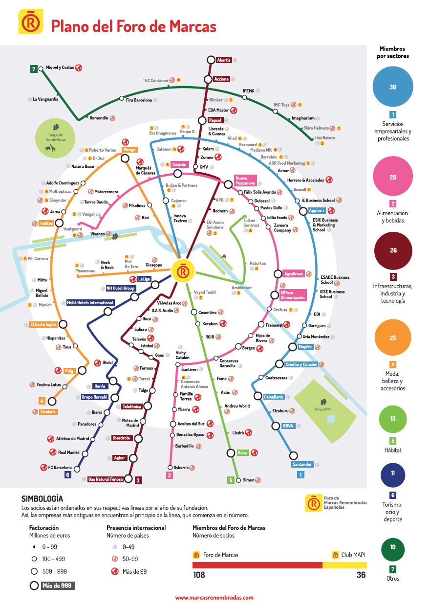
Plano de las marcas renombradas de España

Detalle del plano del Foro de Marcas Renombradas de España, 2018

Diagrama conceptual sobre las marcas renombradas de España.
Se incluye como desplegable en la Memoria de Actividades 2017.
Foro de Marcas
Dosis Font
2018

Diagrama conceptual de las marcas renombradas de España, 2018

Portada del plano de marcas renombradas de España, 2018

Exterior tríptico, Foro de Marcas, 2018

Interior tríptico, Foro de Marcas, 2018

Formato tríptico 'C', 450x320 mm
Formato tríptico ‘C’, 450×320 mm

Herramientas para la visualización de la información sobre mapas

Herramientas de geoposicionamiento de información

Algunas referencias sobre programas y recursos para trasladar una base de datos o un fichero a un entorno espacial, generalmente mapas digitalizados.
(en construcción)

Kepler, análisis geoespacial.

KEPLER
Kepler.gl es una poderosa herramienta de análisis geoespacial de código abierto para conjuntos de datos a gran escala.

Es una aplicación basada en web de alto rendimiento y agnóstica de datos para la exploración visual de conjuntos de datos de geolocalización a gran escala. Construido en la parte superior de deck.gl, kepler.gl puede representar millones de puntos que representan miles de viajes y realizar agregaciones espaciales sobre la marcha.

Kepler.gl usa el reductor ‘redux’ para almacenar y administrar las transiciones de estado. Este paquete consta de un reductor y los componentes de la interfaz de usuario para ‘renderizar’ y personalizar el mapa.

Ir a la introducción en github.

CartoDB, geolocalización de datos.

CARTODB
Geolocalización de grandes volúmenes de datos y combinación con visualizaciones. Integración con lenguajes de programación en D3js. Es una plataforma en plena expansión sobre google maps y está siendo incorporado por múltiples empresas para tomas de decisiones:
Quién lo utiliza: BBVA, Wall Street Journal, United Nations, Twitter, Mashable

MapBox, búsqueda de mapas, navegación y localización.

MAPBOX
Proveedor de mapas online.
Mapbox es el creador, o un colaborador significativo, de algunas bibliotecas de mapeo de código abierto y aplicaciones, entre ellas la especificación MBTiles, la cartografía TileMill IDE, la biblioteca de Javascript de Leftlet, y el estilo de mapas y analizador sintáctico (parser) CartoCSS.

Quién lo utiliza: New York Times, NPR, ProPublica o el Washington Post, Foursquare, Evernote, Financial Times, The Weather Channel, Uber Tecnologies.

OpenStreetMap, mapas de código abierto.

OPEN STREET MAP
OpenStreetMap (también conocido como OSM) es un proyecto colaborativo para crear mapas libres y editables. OpenStreetMap está creado por una gran comunidad de colaboradores que con sus contribuciones al mapa añaden y mantienen datos sobre caminos, senderos, cafeterías, estaciones de ferrocarril y muchas cosas más a lo largo de todo el mundo.

OpenStreetMap impulsa mediante geodatos a miles de sitios web, aplicaciones móviles y dispositivos de hardware.

Google Maps y su API de Javascript.

GOOGLE MAPS
Herramienta para posicionar información, en formato GeoJSON O JSON, sobre capas en un mapa.
Usando la API de Javascript de Google Maps, se pueden insertar en un mapa marcadores, polilíneas, polígonos, etc.

Antonio Petruccelli, maestro de los años 30 y 40 del siglo XX

Si no conoces el trabajo de Antonio Petruccelli (Fort Lee, NJ, EEUU, 1907-1994), merece la pena que le prestes unos minutos de atención.
Ilustrador, diseñador, cartógrafo y diagramador muy inspirador, uno de los grandes del siglo XX.

Si pones en Google su nombre aparecen bastantes de sus fantásticas portadas para Fortune Magazine (desde 1935 hasta 1945) y The New Yorker.
Aquí os dejo algunas de sus gráficas.

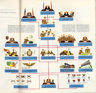
US War Department, enero 1941

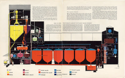
Antonio Petruccelli, The World´s Largest Distillery
Fortune

Antonio Petruccelli, Fortune Magazine, 1942

The main dynamics of the US Technological mobilization for war.

One big family, A Management Chart, Febrero, 1940

Italia, 1934

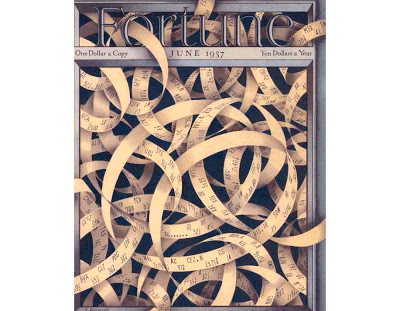
Portada de Fortune, junio 1937

Estos son algunos links que recogen su trabajo:

· Master Illustrator, Antonio Petruccelli

· Antonio Petruccelli en Fulltable, cronología de sus trabajos (muy recomendable)

· Vintage Fortune en Facebook

· Society of Illustrator

GRAPHIC GEMS: Atlas zu Alex. v. Humboldt’s Kosmos in zweiundvierzig, 1851

Gracias por visitar el sitio de Juantxo Cruz

Atlas zu Alex. v. Humboldt’s Kosmos in zweiundvierzig
Infographic on the composition of the earth’s crust
Stuttgart, Alemania
Verlag von Krais & Hoffmann
1851
42 infografías para la historia.
No sólo un atlas. No sólo mapas.
Incluyen increíbles ilustraciones para explicar los fenómenos naturales.

Gracias por visitar el sitio de Juantxo Cruz

Ver Botanicus

MAS:
Galería en Flickr

Bibliodyssey

The rise of thematic or special purpose cartography, which focuses on mapping the distribution of single or multiple interrelated phenomena, had its origins in the advances in the natural sciences in the late eighteenth and early nineteenth centuries, particularly with the collection of vast amounts of scientific data and the search for innovative techniques of presenting this data graphically. Examples of early physical geography atlases in the Library of Congress include Alexander von Humboldt’s Atlas gographique et physique du royaume de la Nouvelle-Espagne (Paris, 1811), which records his observations during a 1799 to 1804 expedition to South and Central America; Heinrich Berghaus’s three-volume Physikalischer Atlas (Gotha, 1845 1848), the first atlas to portray the physical geography of the world; Alexander Keith Johnston’s Physical Atlas (Edinburgh, 1848), an English adaptation of the Berghaus atlas; and Traugott Broome’s Atlas zu Alex. v. Humboldt’s Kosmos [Stuttgart, 1851 1853], which was prepared to accompany Humboldt’s five-volume Kosmos, a complete physical geography of the universe.

MAPS: ‘PaliLeaks’, Al Jazeera y The Guardian

Se complica el proceso de paz en Cercano Oriente.
Papeles robados de ordenadores del Departamento de Negociación de la Organización para la Liberación de Palestina (OLP).

Gracias por visitar el sitio de Juantxo Cruz

The Guardian, 24 de enero
Exclusiva de Al Jazeera y The Guardian.
The Palestine Papers
Las concesiones de Mahmoud Abbas a Ehud Olmert.

Gracias por visitar el sitio de Juantxo Cruz

The Guardian, 25 de enero

Gracias por visitar el sitio de Juantxo Cruz

Jerusalem Post de ayer.

Gracias por visitar el sitio de Juantxo Cruz

Jerusalem Post de hoy.

Gracias por visitar el sitio de Juantxo Cruz

The ‘Napkin Map’
El mapa de la negociación.
La Autoridad Palestina permite la anexión virtual de los asentamientos ilegales por Israel en Jerusalem Este.

Gracias por visitar el sitio de Juantxo Cruz

La rendición de la Autoridad Palestina: Jerusalem Este anexionado por Israel.
Al Jazeera

MAPS: Worst1942, Propuesta Europa, Maurice Gomberg

Gracias por visitar el sitio de Juantxo Cruz

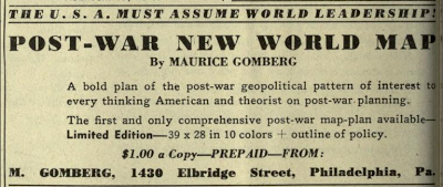
Outline of Post-War New World Map
New World Moral Order
Maurice Gomberg, Philadelphia
Propuesta de EEUU.
Librería del Congreso.
1942
Muy polémico.
Propaganda geoestratégica.

Gracias por visitar el sitio de Juantxo Cruz

The map was self-published by Gomberg and offered for sale for $1 in magazines such as American Teacher in 1942 and Survey Graphic in 1944.

Se puede leer:
Punto 18: ‘The areas known as Netherlands, Belgium, Luxemburg, Switzerland, France, Spain, Portugal, the island of Corsica and eventually Italy and the islands of Sardinia and Sicily shall be unified as a demilitarized, federated «United States of Europe». ‘

About The New World Order Map:

This map was discovered by Helen Somers in a window in Philadelphia during World War II. It was completed in October 1941, before Pearl Harbor, was printed in bright colors by a cartographer named Maurice Gomberg in Philadelphia in 1942, and was displayed in his store window. Helen Somers immediately recognized the significance of the map and purchased several. At least a few original copies are still in existence, including one in the Library of Congress in Washington, DC.

«OUR POLICY SHALL BE THIS:

1. We, the U.S.A., in cooperation with our allies, for reasons of our national safety and in the interests of international morality, are determined to crush and completely destroy the military power of the Axis aggressors, and their satellites regardless of cost, effort and time necessary to accomplish this task.

2. The old world order of colonial oppression, exploitation of dominions, rival imperialism and mercenary balance of power diplomacy; of majesties, dictators, privileged minorities, plutocratic monopolists and similar social parasites; the corrupted order responsible for the present world cataclysm, endangering our national safety and peaceful process, shall never rise again.

3. A New World Moral Order for permanent peace and freedom shall be established at the successful conclusion of the present war.

4. For reasons of history, economic structure, favorable geography and the welfare of mankind, the U.S.A. must, altruistically, assume the leadership of the newly established, democratic world order.

5. To reduce the burden and criminal waste of armaments expenditures everywhere in the world, the U.S.A., with the cooperation of Latin-America, the British Commonwealth of Nations, and the U.S.S.R. shall undertake to guarantee peace to the nations which will be permanently disarmed and demilitarized after the conclusion of the present war.

6. In order to be able, in the fulfillment of our obligations, to effectively prevent the possibility of a recurrence of another world cataclysm, the invincibility of the U.S.A. as a military, naval and air power, shall be the major prerequisite.

7. For realistic considerations of strategy and our invulnerability, it is imperative that the U.S.A. shall obtain relinquishment of controls of their possessions from all foreign Powers in the entire Western Hemisphere, it’s surrounding waters and strategic island outposts as outlined on accompanying map.

8. For considerations of hemispheric defense and in the spirit and tradition of the new Monroe Doctrine of hemispheric solidarity and the «Good Neighbor» policy, the U.S.A. with the consent of the Latin-American Republics, shall obtain control and protectorate rights of the relinquished territories.

9. To strengthen our position in the Caribbean area which is of obvious importance to hemispheric defense, all possible inducements shall be offered to our neighbors of Central America and the West Indies to facilitate their entrance as equal states of the U.S.A. as outlined on map.

10. To fortify the politico-economic unity of the Western Hemisphere, the U.S.A. shall promote and assist the unification of South America into a well organized, democratic, federated «United States of South America.»

11. The liberated British, French and Netherlands Guiana shall be reorganized as one state of the U.S.S.A.

12. All Powers shall relinquish their controls of their colonial, mandate and strategic island possessions everywhere in the world.

13. The British Commonwealth of Nations, the second military and naval Power of importance cooperating in a binding compact with the U.S.A. as a Power for freedom, shall retain and acquire control such territories, peace-security bases and strategic islands outposts essential for the maintenance of world peace and freedom as outlines on the map.

14. The U.S.S.R., the third military Power of importance cooperating with the U.S.A. as a Power for freedom and the maintenance of world peace, shall acquire control of the liberated, disorganized adjacent areas and those of Germany-Austria to be re-educated and eventually incorporated as equal republics of the U.S.S.R., as approximately outlined on map.

15. A world League of Nationalities with arbitration and supervision powers shall be organized.

16. A World Court with punitive powers of absolute boycott, quarantine, blockade and occupation by international police, against lawbreakers of international morality shall be organized.

17. The U.S.A. with the close cooperation of the United States of South America, the British Commonwealth of Nations, the U.S.S.R. and the World League of Nationalities, shall promote and assist in the unification of the relinquished territories and the areas at present unsoundly divided into well organized democratic and absolutely demilitarized republics as approximately on the map.

18. The areas known as Netherlands, Belgium, Luxemburg, Switzerland, France, Spain, Portugal, the island of Corsica, and eventually Italy and the islands of Sardinia and Sicily shall be unified as a demilitarized, federated «United States of Europe.»

19. The areas known as Sweden, Norway, Denmark and the Spitsbergen islands shall be unified as a demilitarized, federated «United States of Scandinavia.»

20. The continent of Africa shall be reorganized and unified as a demilitarized, federated «Union of African Republics.»

21. The areas of Saudi Arabia, Syria, Lebanon, Iraq, Hejas, Aden and Oman, shall be unified as a demilitarized union of «Arabian Federated Republics.»

22. The areas known as India, including Afghanistan, Baluchistan, Nepal, Bhutan and Burma shall be unified as a demilitarized «federated Republics of India.»

23. The areas known as China, Inner Mongolia, Tibet, Thailand, Malaya, Indo-China and Korea, shall be unified as a demilitarized, federated «United Republics of China.»

24. The areas known as Greece, Macedonia, Albania, Crete, Dodecanese and adjacent islands in the Aegean sea shall be unified as a demilitarized «Federal Republic of Greece.»

25. The areas known as Eire and Northern Ireland shall be unified as a demilitarized independent republic of «Eire.»

26. The area of the Holy Land of the ancient Hebrews, at present known as Palestine and Trans-Jordan, and the adjacent requisite regions as outlined on map, for considerations of history and the imperative necessity to alleviate a post war refugee problem, shall be unified as a demilitarized republic of «Hebrewland.»

27. The area known as European Turkey, adjacent to the Dardanelles, sea of Marmora and Bosporus, for considerations of realistic peace strategy shall be placed under joint control of the U.S.S.R. and Turkey.

28. The area known as Turkey shall be a demilitarized independent republic of «Turkey.»

29. All problems of exchange, transfer and repatriation of populations shall be administered by the World League of Nationalities.

30. The criminal perpetrators and their partners in guilt of this hideous war shall be brought to justice and unforgettable punishment administered.

31. All subjects of Japan and all persons of Japanese origin of doubtful loyalty shall be expelled from the entire Western Hemisphere, U.S.A. protectorates and strategic island outposts and their property confiscated for post-war reconstruction needs.

32. All subjects of Germany and Italy and all persons of German and Italian origin known as active supporters of Nazi and fascist ideologies shall be treated similarly.

33. German, Italian, Japanese immigration to the Western Hemisphere, its protectorates and island outposts shall be indefinitely stopped.

34. All persons of German origin in East Prussia and the Rhineland shall be transferred to inner Germany and the regions permanently de-Prussianized.

35. All persons of German, Italian and Japanese origin shall be permanently expelled from their now conquered territories and their property confiscated for post-war construction needs.

36. To cleanse the populations of the defeated Axis aggressors of the intoxication of military chauvinism; to effectuate the removal and destruction of their potential military establishments; to recover the accumulated loot and to re-educate them for their eventual membership in the Family of Nations, the areas of Germany-Austria, Italy and Japan shall be hermetically and indefinitely quarantined and administered by appointed Governors subject to supervision by the world League of Nationalities.

37. All resources, industrial and labor capacity of quarantined areas shall be employed for the post war restoration and reconstruction needs.

38. To reduce the numerical power of the aggressor nations, as a potential military advantage, a Population Control Policy shall be elaborated and applied in the quarantined area.

39. In the New World Moral Order which we seek to establish, besides the essential political freedoms, the following fundamental economic changes are imperative:

(a) Nationalization of all natural resources and equitable distribution of same to all nations…everywhere in the world;

(b) Nationalization of international banking, foreign investments, railroads and power plants….everywhere in the world;

(c) Nationalization of all armaments producing establishments by all military powers;

(d) Federal control of foreign commerce and shipping;

(e) The establishment of a world common monetary system;

(f) World wide limitations of interest rates to a maximum of two percent;

40. To retain the victory and leadership of our united democratic effort….the aim of which is not vengeance or exploitation, but freedom and security to all nations for peaceful progress….the unified «Supreme War Command of the United Nations» at the conclusion of the present war, shall be recognized and transformed into a permanent «Supreme Military and Economic Council» collaborating with the World League of Nationalities in post war construction and to enforce world peace.

41. The «Supreme Military and Economic Council» shall appoint the Governors to administer the quarantined areas until their eventual parole.

For this purposeful beginning we must fight until absolute victory.»

Gracias por visitar el sitio de Juantxo Cruz

Compare the 1942 Map to the US Commands, which reflect America’s deployment of military might and wars of conquest (Editor of Global Research)

Gracias por visitar el sitio de Juantxo Cruz

Irish Times encantado.
Proponía una Irlanda unida
‘The areas known as Eire and Northern Ireland shall be unified as a demilitarized independent republic of «Eire.»

Gracias por visitar el sitio de Juantxo Cruz

También un Estado hebreo.
Smaller entities include Eire (the whole of Ireland), Greece (including Albania), Turkey (excluding European Turkey), Hebrewland (the Holy Land plus Jordan) and Japan. The three axis states (Germany, Italy and Japan) were to be ‘quarantained’ until they could be readmitted in the family of nations.

Gracias por visitar el sitio de Juantxo Cruz

El mundo real en 1945
ONU.

MAPS: GlobCover, ESA

El nuevo mapa de la Agencia Espacial Europea.

Gracias por visitar el sitio de Juantxo Cruz

21 December 2010
ESA’s 2009 global land cover map has been released and is now available to the public online from the ‘GlobCover’ website. GlobCover 2009 proves the sharpest possible global land cover map can be created within a year.

The map was produced using 12 months of data from Envisat’s Medium Resolution Imaging Spectrometer at a resolution of 300 m.
ESA and Belgium’s Université catholique de Louvain created the map using software developed by Medias France and Germany’s Brockmann Consult on data collected from 1 January to 31 December 2009. GlobCover 2009 was generated within a year of acquiring the final satellite data.

The map’s legend uses the UN Food and Agriculture Organisation’s Land Cover Classification System.

Some 8000 people have downloaded the previous version, GlobCover 2005. These maps are useful for studying the effects of climate change, conserving biodiversity and managing natural resources.

Credits: ESA 2010 and Université Catholique de Louvain

!Gracias por visitar mi sitio! | Copyright © 1992- 2024 juantxo_cruz. Todos los derechos reservados.